


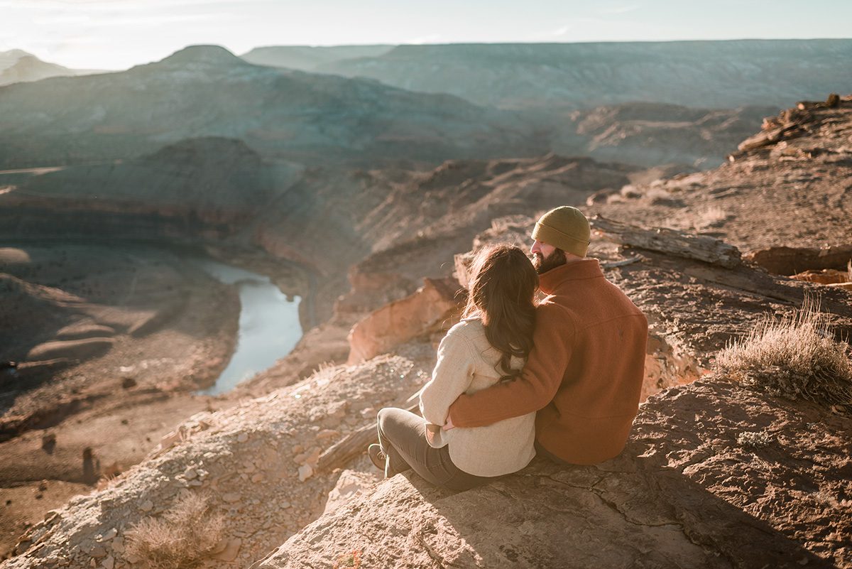
If you’re eloping in the Grand Junction area, you may have been drawn to the area for all its recreational offers, hiking being one of the many ways to get outside and explore this beautiful area. From a local perspective, there are cool hikes that aren’t necessarily the most promoted on blogs and All-Trails. This is my personal opinion on the top 11 hiking trails in the Grand Junction area, from the Monument to the Mesa.
Devil’s Kitchen
The Devil’s Kitchen Trail is a short but scenic hike that is rated moderate and located in the Colorado National Monument. The trail is approximately 1.5 miles round-trip and leads hikers to a unique rock formation known as Devil’s Kitchen, with red rock pillars in a half moon formation that creates a feeling of an outdoor room/amphitheater. Along the way, hikers will enjoy beautiful views of the monument’s red rock cliffs, cacti, and you might even spot a big horn sheep.
Mica Mine
The Mica Mine hike is a popular trail in the Grand Junction area. The hike takes you to an old mica mine, where you can see the remains of the mine, spot glittery rocks along the way, and explore the history of mining in the area. The hike is moderate in difficulty and is about 3 miles round-trip. Along the way, you’ll enjoy beautiful views of the surrounding cliffs and canyons. People like to take their kids on this hike for all there is to spot along the trail, and its relatively short length.
Miracle Rock
Miracle Rock is a popular hike in Glade Park near Grand Junction, Colorado. The hike is approximately 3.5 miles round-trip and is rated as moderate in difficulty. Along the way, hikers will enjoy beautiful views of the surrounding mesas and canyons. The trail leads to a large rock formation known as Miracle Rock, which is a huge red boulder seemingly balancing on barely any surface area. The hike offers stunning views of the surrounding landscape, including the ability to see into Utah on a clear day. Hikers should come prepared with plenty of water and sturdy shoes.
Serpent’s Trail
The Serpent’s Trail is a historic hiking trail located in the Colorado National Monument. The trail is approximately 1.75 miles long and is rated as moderately difficult due to its steep incline in elevation. The trail was originally built in the early 1900s as a scenic drive — the original road through the park — but was converted to a hiking trail in the 1970s. Along the way, hikers will enjoy stunning views of the monument’s red rock cliffs and canyons, as well as a unique perspective of the winding road below. The trail is a popular destination for hikers and influencers alike.
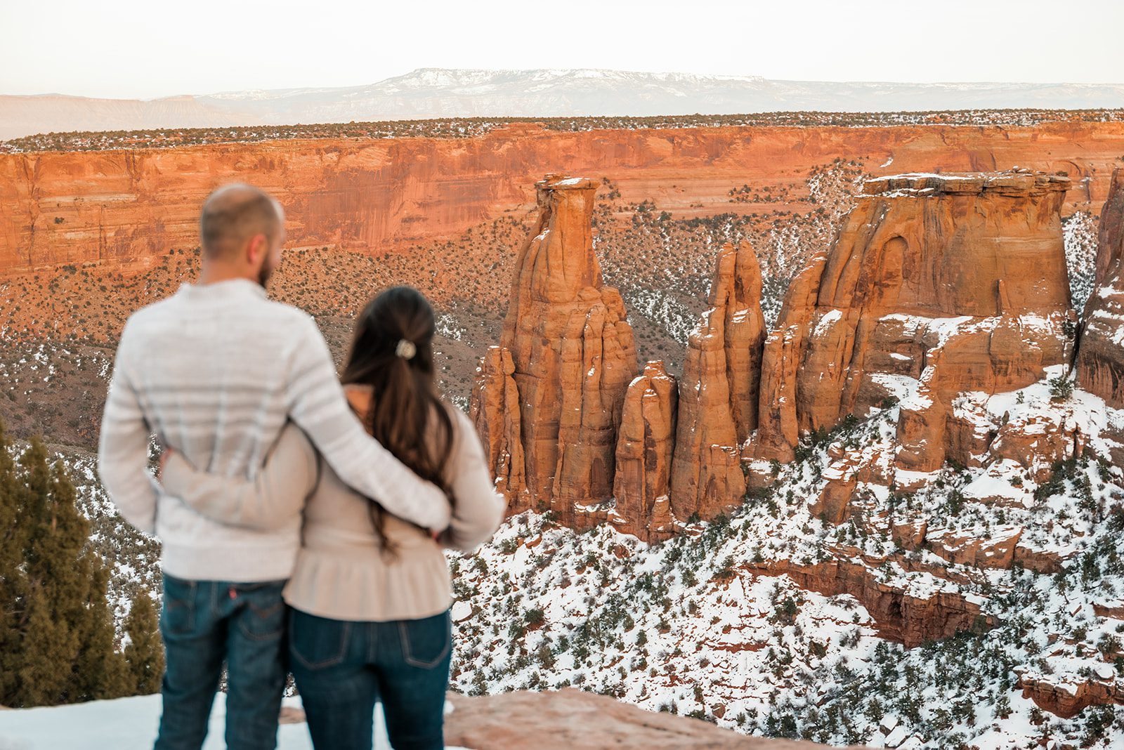
Monument Canyon
The Monument Canyon Trail is located in the Colorado National Monument in Grand Junction, Colorado — although the trailhead is reached from outside the park (you’ll feel like you’re in a residential neighborhood!) The trail is approximately 4.7 miles long and is rated as moderately difficult due to its steep incline, length, lack of shade, and rocky terrain. Along the way, hikers will enjoy stunning views of the monument’s red rock cliffs and canyons, including the famous Independence Monument. The trail also offers opportunities for wildlife sightings, such as bighorn sheep and mule deer. Hikers should come prepared with plenty of water and sturdy shoes, and avoid this hike midday in the summer.
White Rocks
The White Rocks area is located in the Colorado National Monument and offers a unique hiking experience. The trailhead is located in a residential neighborhood, but the area itself is part of the park boundaries, and dogs are not allowed accordingly. The trail is approximately 2.6 miles long and is rated as moderate/easy in difficulty. The trail leads hikers through a series of white rock formations that long ago fell from the cliffs above. The hike offers stunning views of the valley and the Mesa. Along the way, hikers will also enjoy views of the nearby Book Cliffs and the red rock cliff above. Hikers should come prepared with plenty of water and sturdy shoes. The trail is particularly beautiful in the early morning or late afternoon when the rocks are illuminated by the sun.
Mt. Garfield
The Mt. Garfield Trail is a challenging hike that rewards hikers with beautiful views of the Grand Valley. The trail is located in Palisade, Colorado and is approximately 2.8 miles round-trip. The trail is rated as strenuous, though, due to its extremely steep incline in elevation and rocky terrain. The trail gains 2,000 feet over its 2-some miles, and many climbers use it to train for hiking 14ers in the state. Hikers should come prepared with plenty of water and sturdy shoes. The best time to hike the trail is in the early morning or late afternoon when the temperatures are cooler. From the top of the trail, hikers will enjoy stunning views of the Grand Valley, the Book Cliffs, and the Colorado River below.

Palisade Rim Trail
The Palisade Rim Trail is a beautiful hike located just a few miles east of Grand Junction in Palisade, Colorado. The trail is approximately 8 miles round-trip and is rated as moderate in difficulty due to its length, rocky terrain and steep inclines. The trailhead is located in the northeast corner of a parking lot at the end of the dirt road. Along the way, hikers will enjoy stunning views of the Grand Valley, the Book Cliffs, and the Colorado River below. The trail is particularly beautiful in the fall when the leaves change colors too. Hikers should come prepared with plenty of water and sturdy shoes.
Crag’s Crest
Crag Crest trail is a unique hike located on the Grand Mesa, a little over an hour drive from Grand Junction. This 10-mile round trip trail is rated as moderate in difficulty and offers stunning views of the surrounding mountains and forests. What makes this trail unique is its location as the highest point on the Grand Mesa, which is the largest flat-topped mountain in the world. The trail takes hikers through forests of aspen and spruce trees, as well as along a crest atop the mesa, providing breathtaking views of the surrounding area. Hikers should come prepared with plenty of water and sturdy shoes, as the trail can be rocky in places.
Old Spanish Trail
The Old Spanish Trail is a hiking trail located in Orchard Mesa, Grand Junction, Colorado. The trail is fairly easy to navigate as much of it is flat – the biggest hurdle is navigating how far to go on this seemingly endless trail (it’s actually over 7 miles long.) Take the trail toward the Gunnison River for incredible views of the water below and beautiful cliffs.
Liberty Cap
The Liberty Cap trail is located in the Colorado National Monument in Grand Junction, Colorado. This is another CNM trail that the trailhead is located at the base of the park in a residential neighborhood. The trail is approximately 3.7 miles long and is rated as difficult due to its steep incline and rocky terrain. Along the way, hikers will enjoy stunning views of the monument’s red rock cliffs and canyons, as well as a unique rock formation known as Liberty Cap. The trail is particularly beautiful in the early morning or late afternoon when the rocks are illuminated by the sun. Hikers should come prepared with plenty of water and sturdy shoes and avoid this hike in midday in the summer.
SAVE IT FOR LATER – PIN IT:
Hello! Great hiking list! But you should mention that Palisade Rim and Mt. Garfield are open to Mountain Bikes.